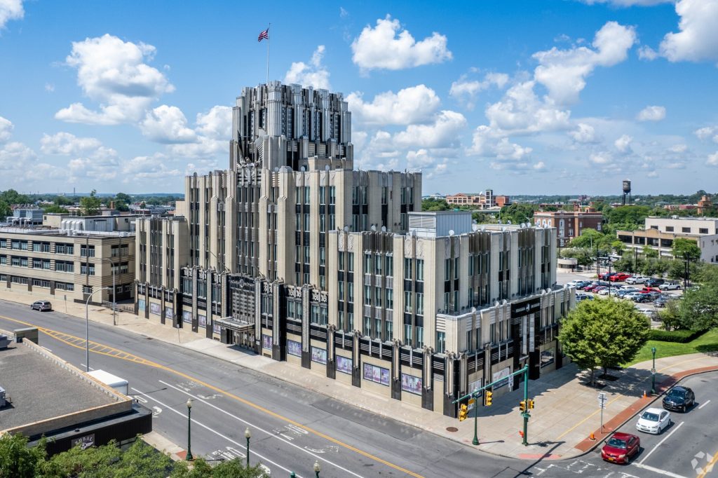
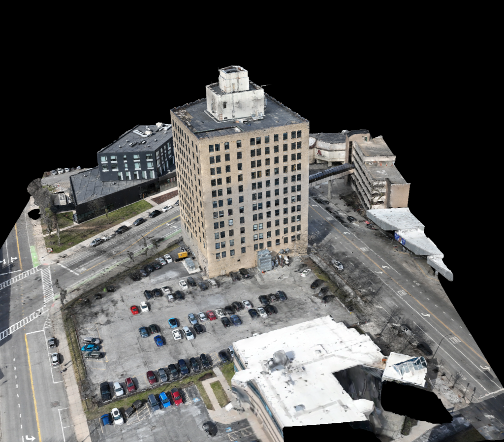
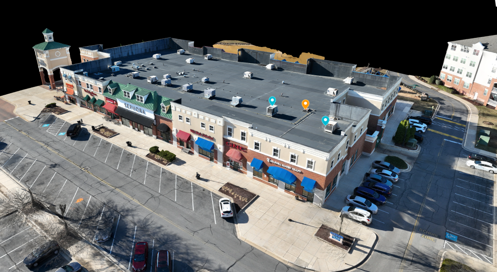
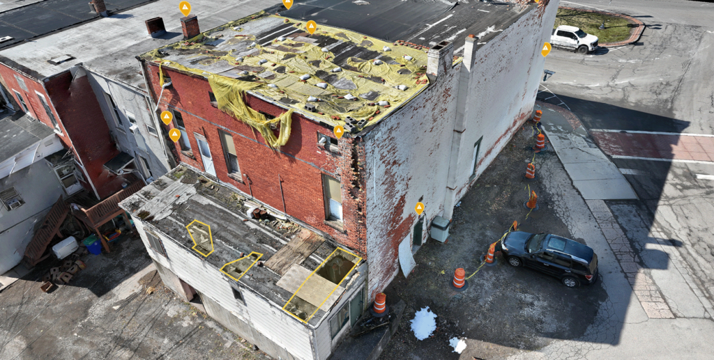
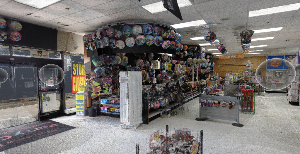
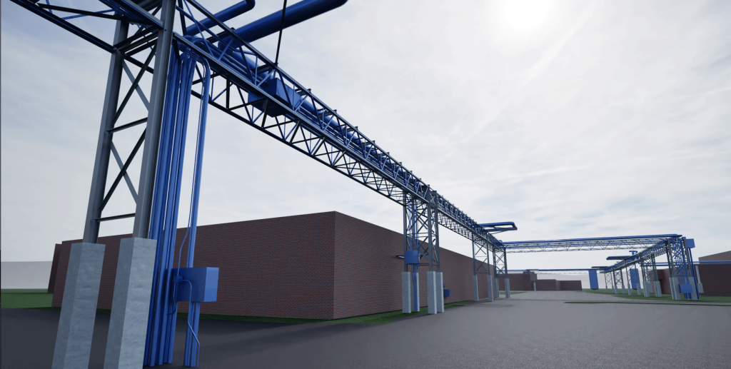
Reality Capture for AECO Professionals Who Can't Afford Guesswork

From accurate site documentation to complete digital models, we convert real-world complexity into reliable data so you can build with confidence, stay ahead of issues, and maintain control.

Successful Projects
0 +
Customer Satisfaction
0 %

Capturing Reality with Precision, Delivering Results with Confidence

At Future Reality Services, we go beyond documentation – We deliver clarity. With cutting-edge site capture and digital modeling, we provide accurate, actionable data for construction, engineering, and property teams along the East Coast.

Since launch, we’ve helped builders, architects, and developers reduce risk, cut rework, and communicate with confidence using immersive, measurable data.

Reliable Services You Can Trust

We provide end-to-end reality capture and design solutions giving you a single, reliable source for accurate data, expert support, and project-ready deliverables.

3D Laser Scanning & Reality Capture

Turn real-world structures into accurate, measurable 3D data. Perfect for as-builts, coordination, and detailed modeling.

Aerial Imaging & Inspection

Drone imagery and inspections provide a full-site view for progress tracking, planning, reporting, and inspecting

Ground Inspection & Documentation

Detailed on-the-ground site documentation for interiors and exteriors. Ideal for inspections, compliance, and model validation.

CAD & BIM Solutions

Accurate 2D drawings and 3D models built from real-world data. Ready for design, coordination, and construction.

Reliable Data. Proven Process. Results You Can Build On.

We’re not just collecting site data. We’re helping you make smarter, faster, and more informed decisions. Our team is committed to delivering consistent, high-accuracy results that reduce risk and drive project success from the ground up.

Certified & Field-Tested Team

Our FAA-certified pilots and trained scanning technicians work seamlessly on active job sites safely, efficiently, and with attention to detail.

Construction-Grade Deliverables

We don’t just hand off files. We produce clean, structured outputs that are ready for immediate use and integrate seamlessly with the industry-standard tools your team already relies on.

Client-First Reliability

We hit deadlines, communicate clearly, and deliver what we promise so you can stay focused on building, not chasing subs for documentation.

How We Work

We keep our process clear, efficient, and tailored to your project needs so you get the data you need, when you need it, without delays or surprises.

01

Discovery & Project Scoping

We start with a consultation to understand your site, timeline, and deliverable goals. Whether it's drone imagery, laser scans, or 3D Modeling.

02

Site Capture & Documentation

Our team mobilizes for aerial and/or terrestrial capture using drones, scanners, and ground photography. Executed safely and accurately.

03

Data Processing & Model Creation

We turn raw site data into clean, usable outputs: point clouds, floor plans, CAD files, or 3D Revit models formatted to your specs.

04

Delivery & Support

You receive all deliverables on time and ready to use with integration support for platforms like Procore, Autodesk, or whatever system your team prefers.

Real Projects. Real Data.

Explore how we’ve transformed physical sites into detailed, visual documentation for project teams nationwide.